Field Work
If there can be no supervised machine learning nor GeoAI without labeled data, then we should attend to the pathways along which the labels that link data to algorithms come to be. This is important for two reasons. First, because the era of ‘post-truth’ can be used to suggest that any form of evidence is suspect. Second, because the concept of ground truth as it applies to spatial practices is thornier yet than in other domains of AI.
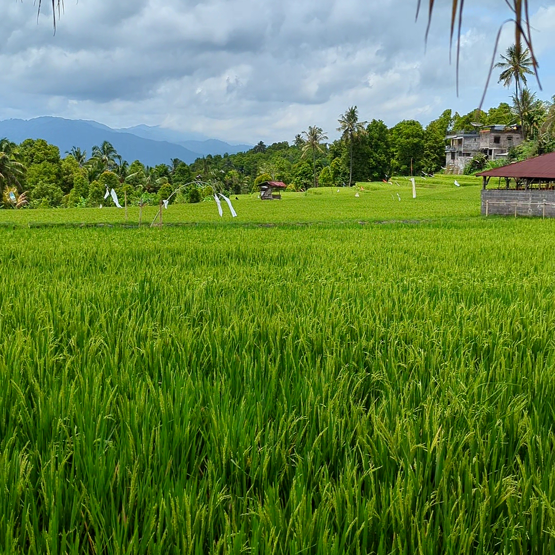
When considering the construction of reference data for land cover evaluation in the Alas Mertajati, there are more than just technical questions to address. Determining which ground conditions should be included in the representation demonstrates how GeoAI can intertwine with local politics. The Alas Mertajati has never undergone detailed surveying with GeoAI before. The Indonesian National Geospatial Information Agency (BIG) provides a formal taxonomy of land cover classes for Indonesia, and adhering to these categories would ensure compatibility with future national government land management efforts. However, accepting these categories also means accepting the politics embedded within them, acknowledging government control not only over land classification but also over how land is represented to the world. Our partner organization, the WISNU Foundation, faced the difficult task of reconciling these opposing forces. The desire for integration into the established system was just as strong as the selective opposition to it. After several months of discussions and debates, we reached a consensus on a collection of land cover categories deemed relevant to the Indigenous people of Dalem Tamblingan and compatible with BIG's existing geospatial taxonomy. The agreed-upon categories for representing the Alas Mertajati included water, settlements, shrub land, grass land, homogeneous forests, mixed forests, agriculture plots, open land, mixed gardens, clove forests, agroforestry, and rice paddies. The only category not part of BIG's system is agroforestry, which is both technically challenging and politically significant, as the book describes in detail.
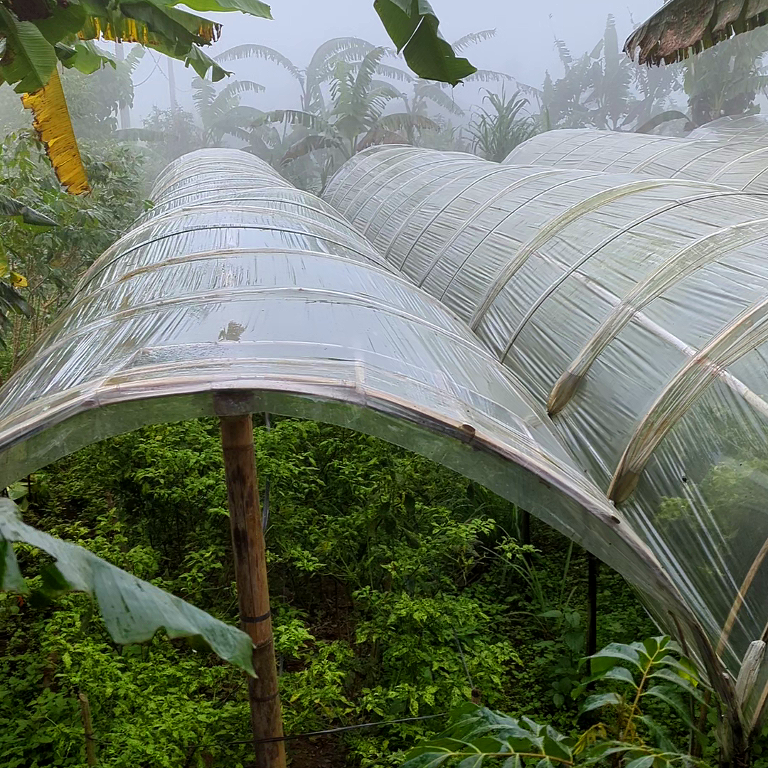
In order to represent agroforestry in this GeoAI project, WISNU and our team first compiled a database of sites for each of the categories listed. These sites were initially identified in our Planet Labs satellite imagery.
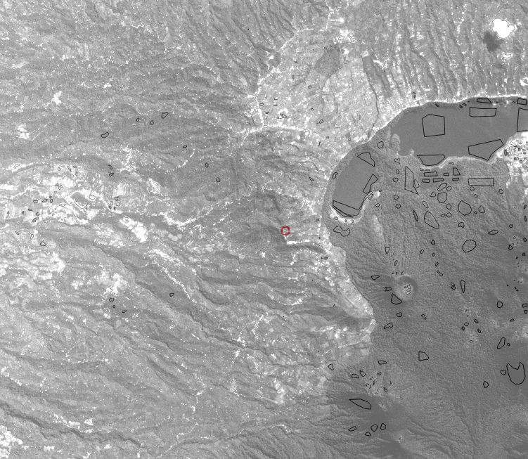
Sites identified as ground truth representation for land cover analysis. Dozens of sites were identified for each of the categories. The circled area in the middle of the image (-8° 16' 5.555 S, 115° 4' 47.705 E) is identified as a site of agroforestry-based food production.
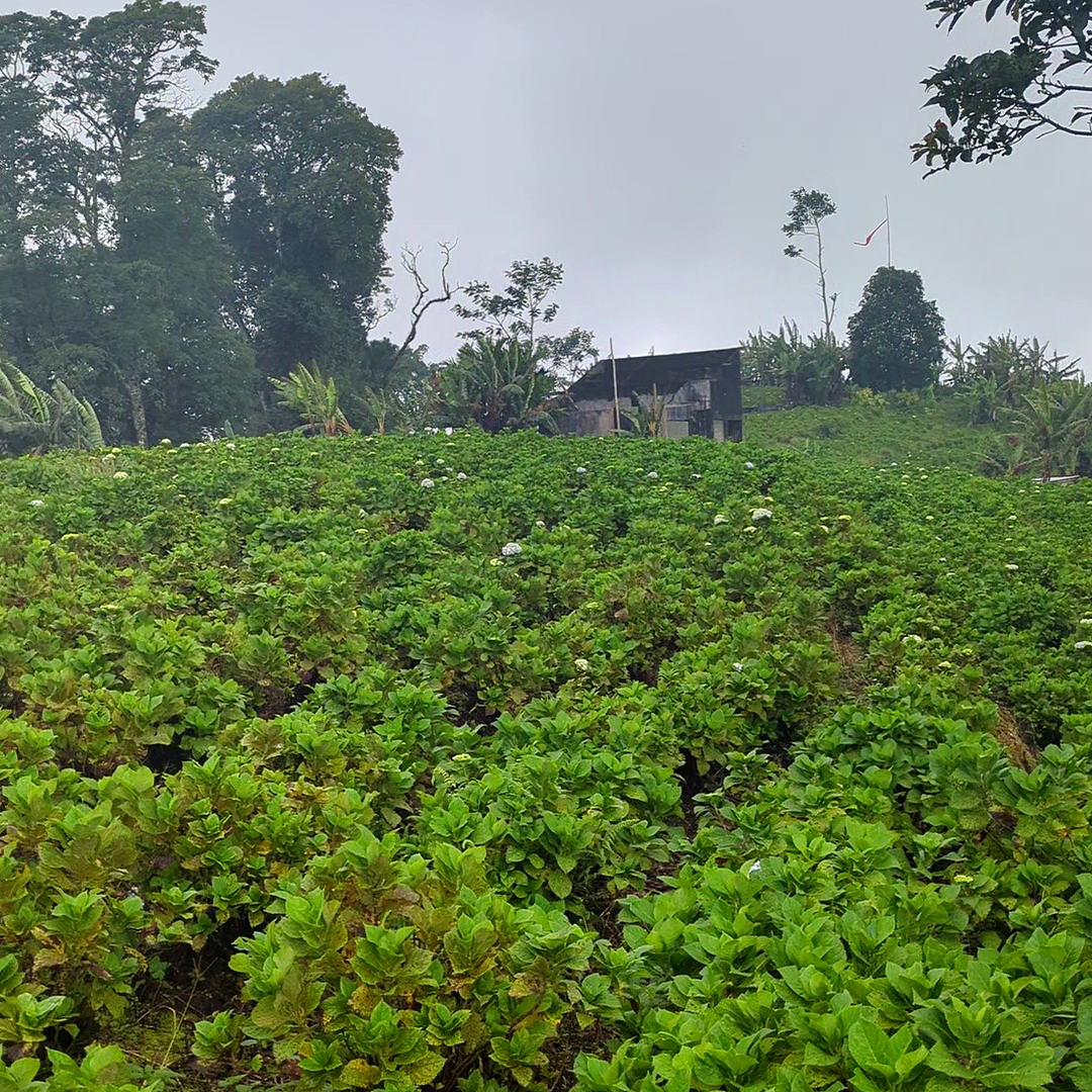
This first list was then verified in the field. We worked with our local informant, Gusti Ngurah Gede Sutarjana, to collect video documentation from specific field sites of interest. With the expertise of Rajif Iryadi from the Indonesian Institute of Sciences, we vetted the candidate sites for appropriateness and accuracy to create a database of dozens of sites for each category.
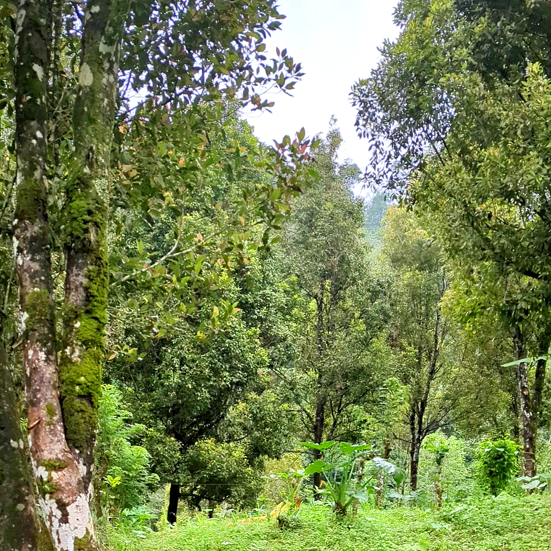
Agroforestry site in the Tamblingan lands surrounding the Alas Mertajati ( -8° 16' 5.555'' S, 115° 4' 47.705'' E). Video by RTS.
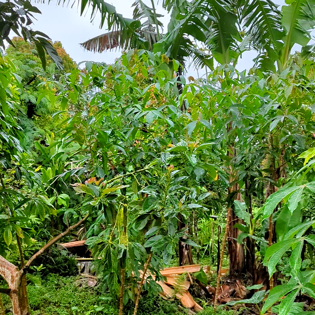
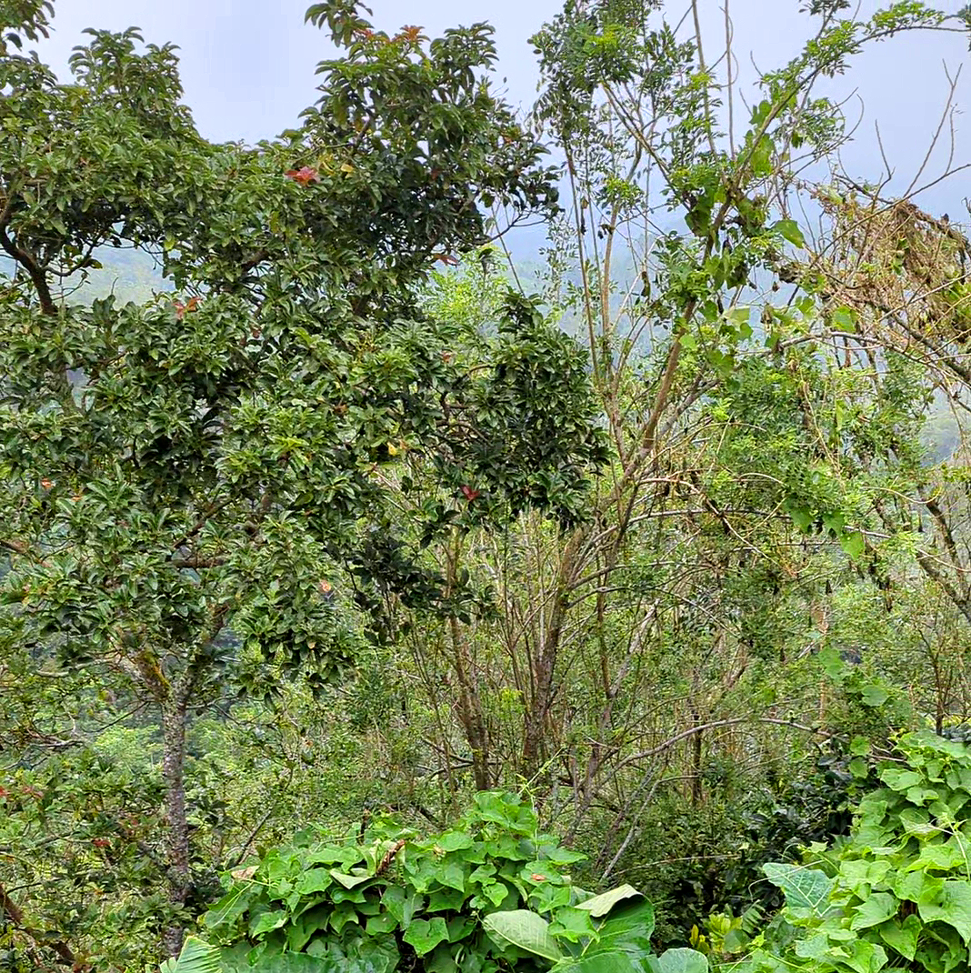
Agroforestry plots in the vicinity of the Alas Mertajati area vary in size, ranging from small fractions of a hectare to larger plots of five hectares or more. Within the Tamblingan region, these plots commonly consist of a combination of coffee, avocado, jackfruit, guava, and taro plants, along with palm, clove, and banana trees. Typically, certain species dominate the plantings, with informal areas interspersed throughout.
In some cases, sections of the plots may be left semi-wild. There is a fluid boundary between agroforestry and mixed tropical gardens. Some of the same plant species can be found in both configurations. However, mixed gardens tend to be more structured, intensively managed, and located adjacent to roadways, while agroforestry sites are often surrounded by forested areas and are generally less intensively managed. Given that even local experts may disagree on the differences, the distinction between these categories remains far less crisp than classification procedures would wish for. Examples collected across the Alas Mertajati demonstrate how mixed forest, clove forest, garden, mixed garden, and agriculture can overlap with agroforestry.