Cartographies of Uncertainty
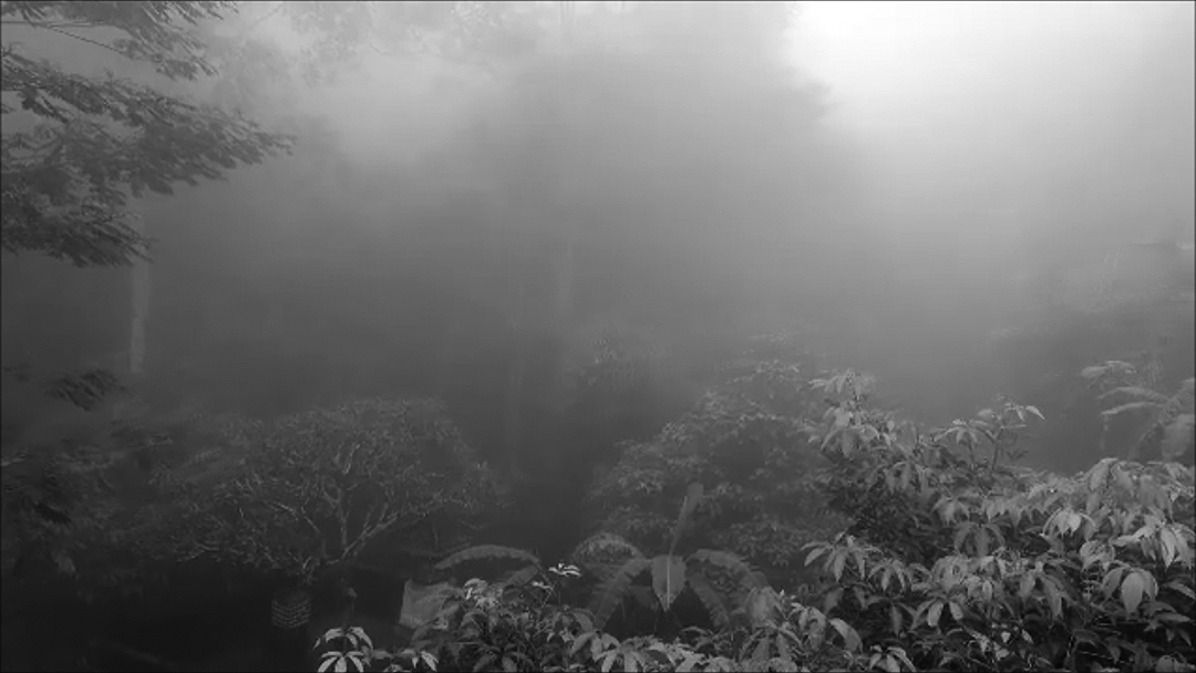
The algorithm-centric survey above makes some strong assumptions about the landscape viewable by satellite assets. Occasionally, the visual signature of a landscape has little to do with its use, and in some cases, appearances can be utterly misleading. A case in point is the landscape presented below that shows a prototypical agroforestry arrangement. However, this agroforestry configuration was not established by farmers for food production, rather it was designed by a luxury hotel gardening team to emulate the appearance of pastoral farming. Under GeoAI, such fake agroforestry sites will register as agroforestry independent of the selected algorithm as their spectral signatures are largely indistinguishable from those of bona fide agroforestry plots.
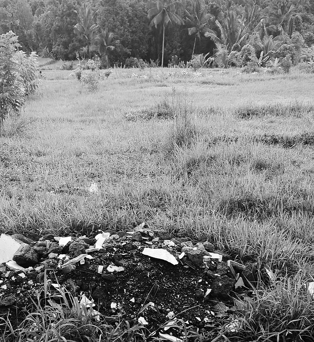
The image below shows an additional example of fake landscapes. An abandoned rice paddy field awaits transformation, perhaps into a luxury resort. Despite its dilapidated condition, all our algorithms will classify this former rice paddy as a bona fide rice paddy. While computer science considers such data set deficits as mere noise, anyone desiring to understand how GeoAI’s potential to misread the landscape will find such slippage significant.
In other cases, misreadings are programmatic. For example, abandoned rice paddies adjacent to resorts are sometimes maintained for appearances only. These fake rice paddies serve as elaborate theatrical performances designed to confirm tourists' desire to experience authentic Balinese pastoral life in harmony with the tropical environment.
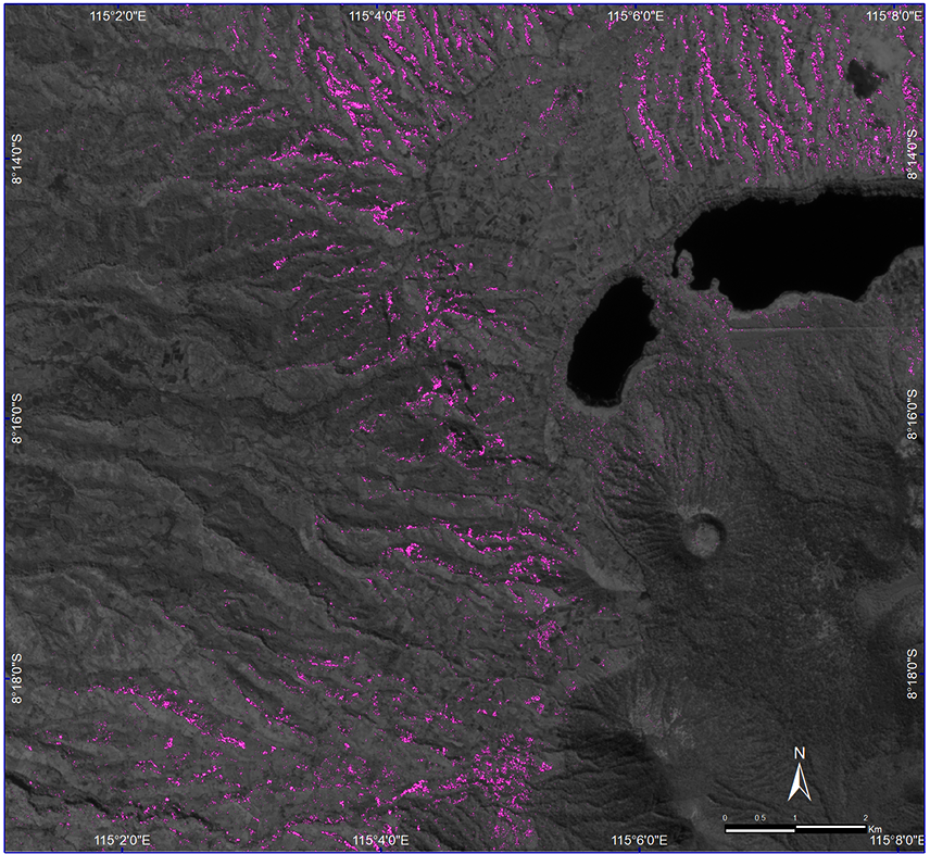
Despite these landscape anomalies, the existence of agroforestry is confirmed across all of the evaluated landcover evaluation methods. This project delivered the first GeoAI-based evidence of this time-tested land care practice in the Alas Mertajati and serves the Indigenous people of Dalem Tamblingan as evidence of the extent of agroforestry across their lands.
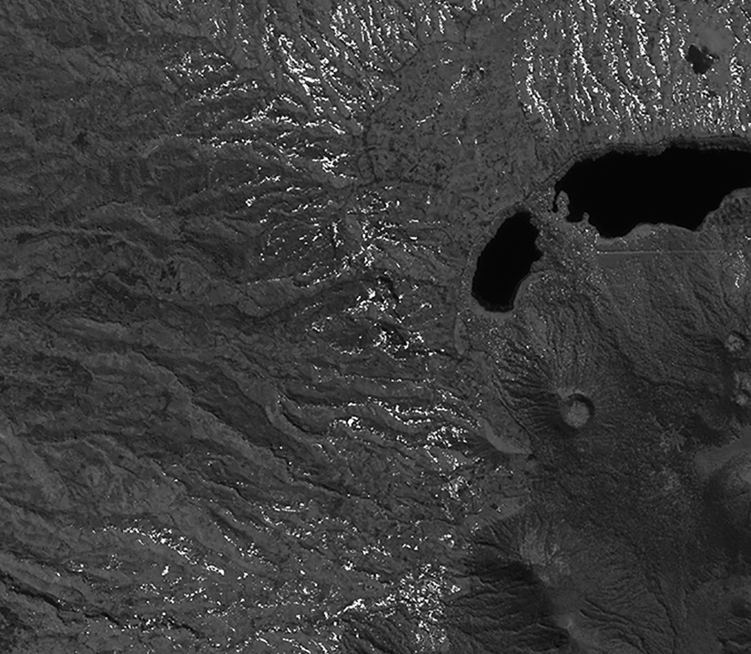
In response to the differences across the evaluated algorithms, it makes sense to represent the findings in a visually nuanced approach. This solution clarifies the existence of agroforestry while acknowledging the epistemic and aleatoric uncertainty inherent to machine learning operations. The background near-infrared image offers a neutral vegetation-tuned background upon which the results are projected.
The logics of planetary computing unfold within GeoAI along a convoluted path. They impact different sites and conditions in different ways. In part due to the heterogeneity of source materials, GeoAI foundation models have yet to establish dominance as they have in the realm of text and language. While the fallout from future GeoAI foundation models remains uncertain at this point, the impact of the infrastructures and platforms required to create and maintain powerful GeoAI models will certainly intensify planetary scale resource extraction, at non-negligible cost to the very planet under observation. Yet bigger is not always better and Small GeoAI, as outlined in the book, can perhaps help to counter AI's insatiable appetite for resources.