This story is the archived version of the previous dynamic website that ran inference on select machine learning models.
As in the live version, the text is derived largely from the book .
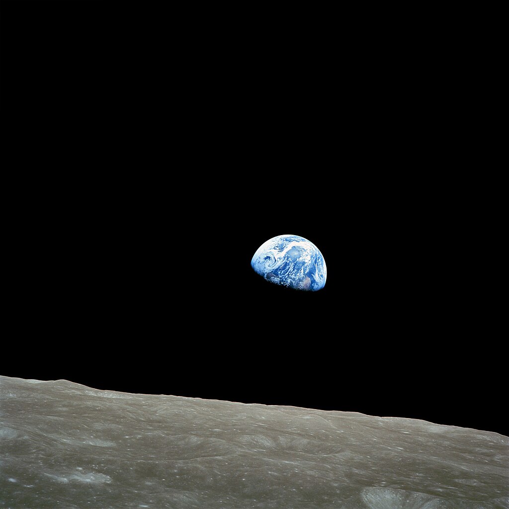
The iconic photograph of planet Earth, taken by astronauts in lunar orbit on December 24, 1968, showed our planet as a blue marble suspended in the vastness of space. The image instilled in many people a sense of awe and amazement. Today, however, imagery collected from low-Earth-orbiting satellites is more likely to instill fear of surveillance, encourage compliance, and suggest opportunities for prediction.
Within the span of 15 years, the field of satellite-based remote sensing has morphed from nation-state-scale operations focused on research and defense into venture-capital-financed startups pursuing commercial opportunities. Hundreds of satellites have been placed into low-Earth orbit, with thousands more slated to join them.
The project situates these low-orbit Earth observation assets within the larger context of planet-scale computing operating beyond the confines of nation-state boundaries. It examines the significance of combining low-orbit Earth observation systems, imaging the surface of the Earth, with the large-scale computational operations that support them. The integration of remote sensing, geography, and AI - GeoAI - is identified as the lynchpin through which I consider the emergence of a new kind of Earth observation regime - one that shapes how the world is observed and assessed, and that generates new spheres of interest and power struggles. Through the vantage point of GeoAI, I reflect on the current condition of planetary computing, globe-spanning computational infrastructure, evaluation networks and unevenly distributed impacts.